
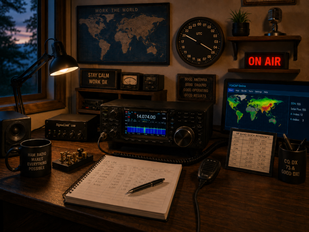
Universal Coordinated Time
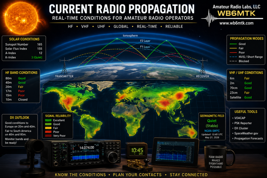
CURRENT PROPAGATION
 Click here to add your own text
Voice of America Coverage Analysis Program VOACAP
VOACAP is free professional high-frequency (3-30 MHz) propagation prediction software from NTIA/ITS, originally developed for Voice of America (VOA). This online guide should get you well started with the software.
 Click here to add your own text
DX CALENDAR
Currently Active
FP/KV1J Miquelon Island
LU1ZA Isla Laurie South Orkney Islands
Recent forum posts
YR50NADIA – 50 years since the first 10 in gymnastics
IZ1KVQ/IA5 Elba Island (IOTA EU-028)
68 years of founding YO5KAU – County Radio Club
Bujorului 2026 award
May 10, National Independence Day of Romania 1877 – 2026
Argentina Flag Day Award and Special QSL (2026)
National Gathering of the Alpini
CQ WPX SSB Contest – 2026 – High Claimed Scores
Tokelau 2026 News – 3 April 2026
Video – 3XFSG – Guinea
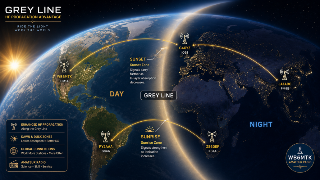
Grey Line Map
A greyline map is valuable for identifying the best times and locations for DX (long-distance) contacts, especially on low-frequency bands (160m, 80m, and 40m). It shows the twilight zones (dawn and dusk) around the Earth, where radio propagation conditions are enhanced.
Using a Greyline Map for DX Contacts
Understand the Greyline Effect
At sunrise and sunset, the D-layer of the ionosphere weakens, reducing the absorption of low-frequency signals.
The F-layer remains ionized, allowing signals to travel further with lower attenuation.
This significantly improves long-distance propagation on bands like 40m, 80m, and 160m.
Find Your Location on the Map
Identify when your station is entering or exiting the greyline.
The best time to operate is right before sunrise or right after sunset at your QTH.
Identify Potential DX Locations
Look for other regions in the greyline at the same time.
If a distant station is also in the greyline, there’s a high probability of enhanced propagation between both locations.
Target Specific DX Locations
If you want to work in a specific country or region, determine when you and that location share greyline conditions.
Example: If you’re in North America and want to contact Australia, check when both locations experience dawn or dusk simultaneously.
Monitor Propagation on 40m
Since you operate CW on 40m, expect stronger DX signals along the greyline path.
Try calling CQ DX or tuning around the CW portions (7.000–7.100 MHz) at sunrise/sunset.
Use Real-Time Greyline Tools
Websites and apps like VOACAP, DX Maps, and DX Heat provide real-time greyline overlays.
Some logging software also includes live greyline tracking.
